Intellmaps


Technological startup including a team of professionals who like to work with maps. We started our work in March 2020, just a few weeks before the COVID crisis. In spite of that, we were able to get several satisfied clients from segments of local government, location intelligence and asset management of buildings.
INTRODUCTION
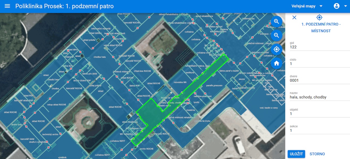
Intellmaps is a start-up providing innovative infrastructure management tools based on localization. Knowing exact positions is the base for our company and products. Our customers, owners of infrastructure, need to know the position of their assets to do new data collection, daily operation and data update, and finally, for data analyzing and improving their business processes. For the end users, who are working, moving in and out of their infrastructure, it is a problem to track their position. There is a challenge to continue seamlessly with position recognition and being able to switch between outside and inside. Intellmaps solves this problem. To choose the right technology for the outdoors we decided to use satellite navigation. The preferable space solutions position system is Galileo, because Galileo’s accuracy is the most accurate on the market (Galileo has horizontal precision within 1 meter according to other navigation systems such as American GPS or Russian’s GLONASS with accuracy about 3 meters). For indoor localization, we use low-cost beacons which could be placed indoors.
UNIQUE SELLING POINTS
- Multi-platform building information management services provide a variety of applications
- Ability to combine data from IoT sensors and indoor navigation
- Team of GIS professionals who are passionate about maps