

INTRODUCTION
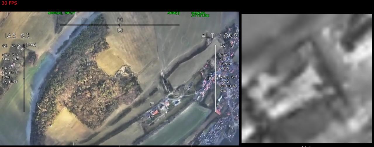
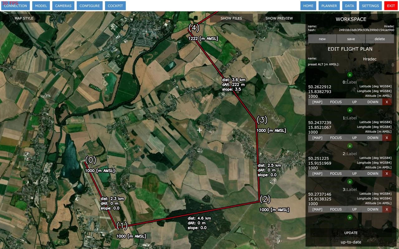
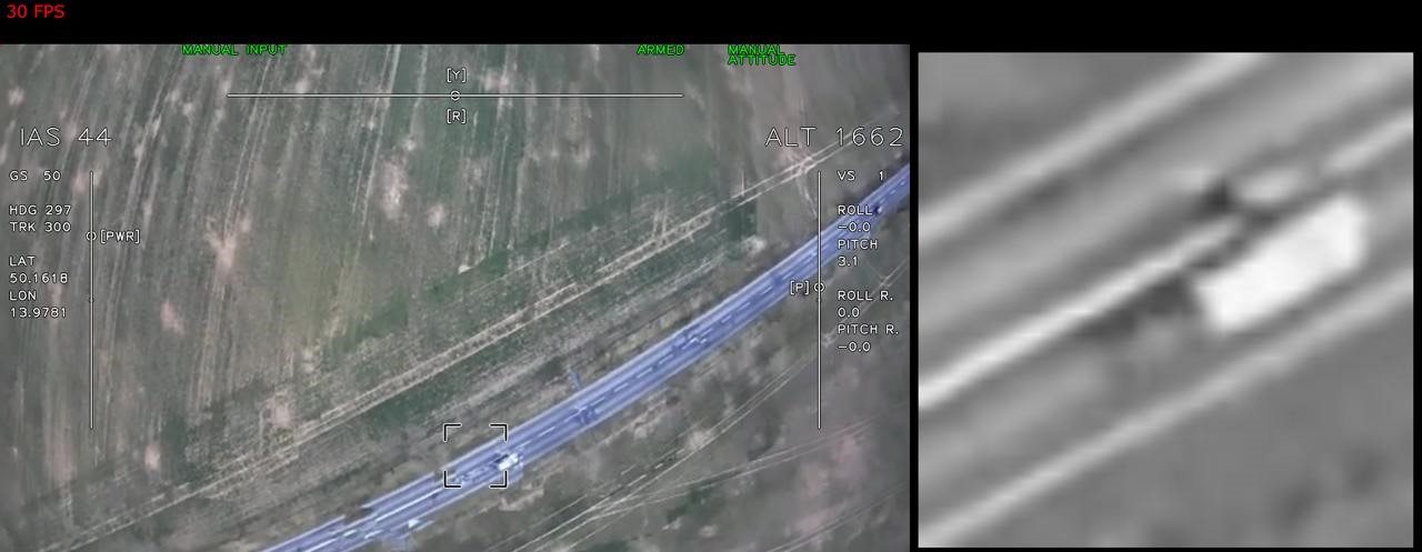
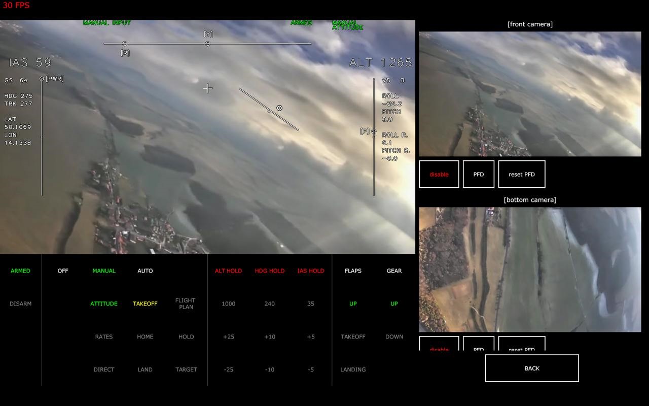
We aim to hit the market with a unique piece of hardware and software stack capable of performing the visual navigation and bringing avionics an external source of navigation data apart from the GNSS for extra safety, robustness and enhanced performance especially when it is combined with GNSS. As a side-product, we develop a platform for real-time image processing on airborne vehicles which can be then used in such scenarios as reconnaissance, aerial photography, precision drones, feature detection and tracking, and independent map generation all of which promise huge potential.
UNIQUE SELLING POINTS
- Independent localisation system – jamming/spoofing proof
- Throughout testing on real-world dataset captured from airplane
- Airplane and UAV compatible
- Reduced dimensions and mass
- Full hardware and software solution